-40%
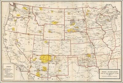
1919 map of Indian Reservations West of the Mississippi River POSTER 50022
$ 8.44
- Description
- Size Guide
Description
This Auction is for aLARGE
(see dimensions below) unframed
MODERN REPRINT
of an Antique Map as detailed below.
This map is reproduced on 35 lb heavyweight coated paper for sharper print quality and colors that are vivid.
Approximate Image Size
22.5 X 29.5 inches
Description
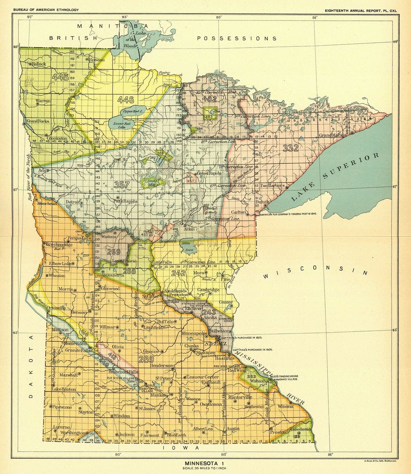
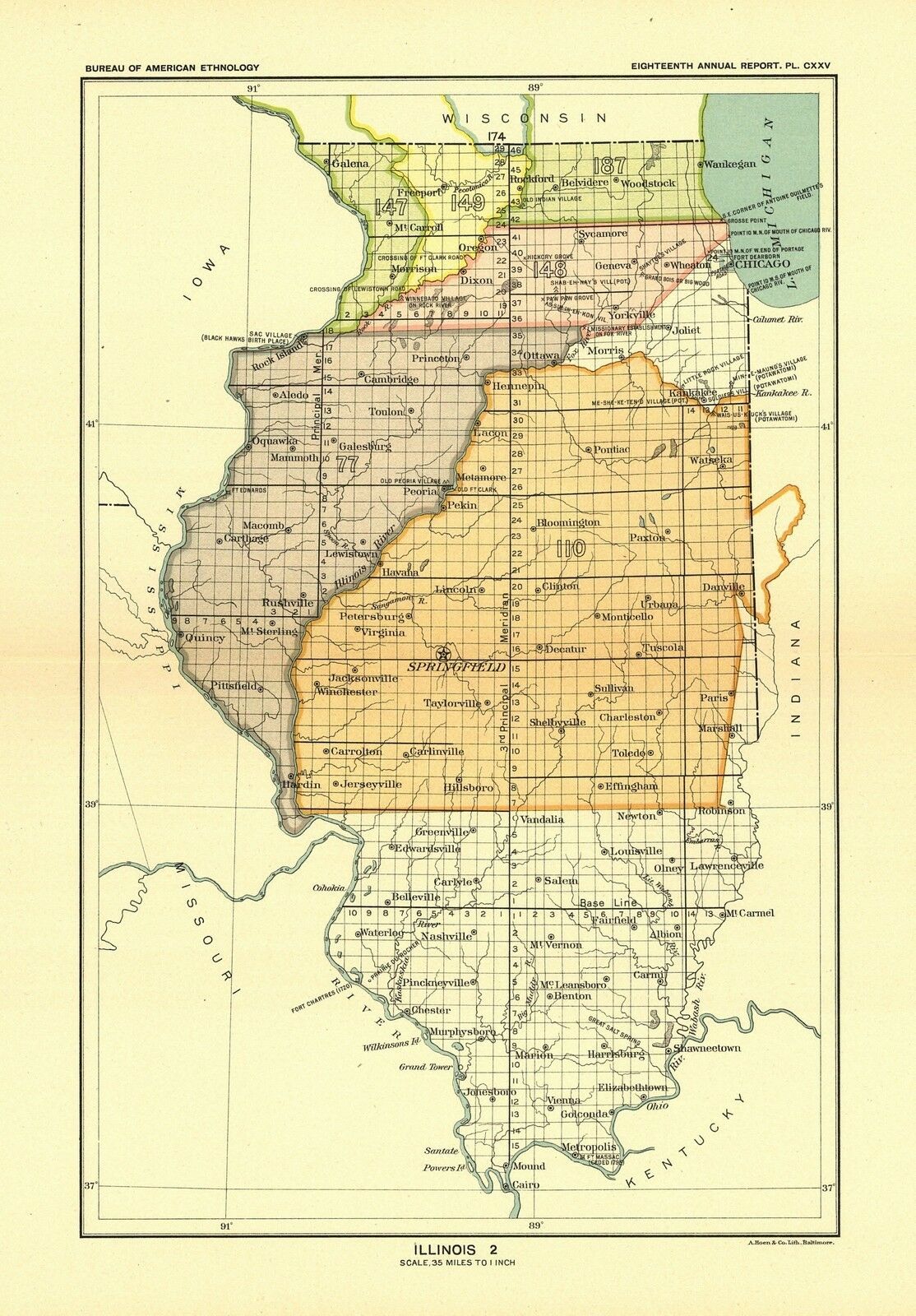
Fine large format map illustrating the Indian Reservations West of the Mississippi River.
The map shows existing and former Native American reservations, supervisors districts, schools, hospitals, state boundaries, railroads, cities, and major towns. A number of Railroad lines are also shown.
---from Barry Lawrence Ruderman Antique Maps
