-40%
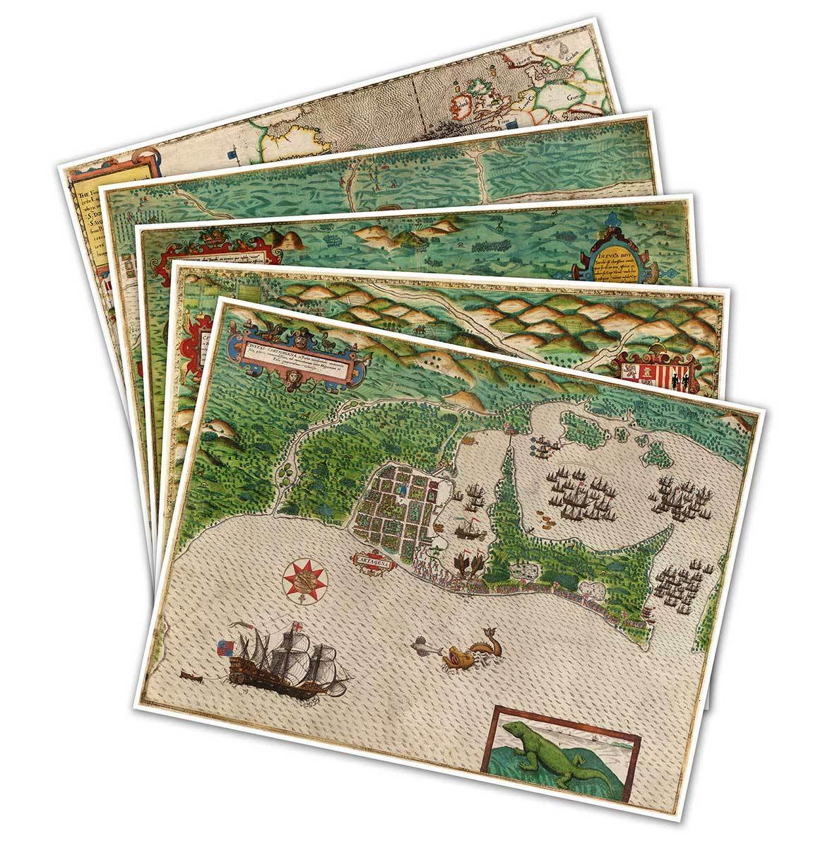
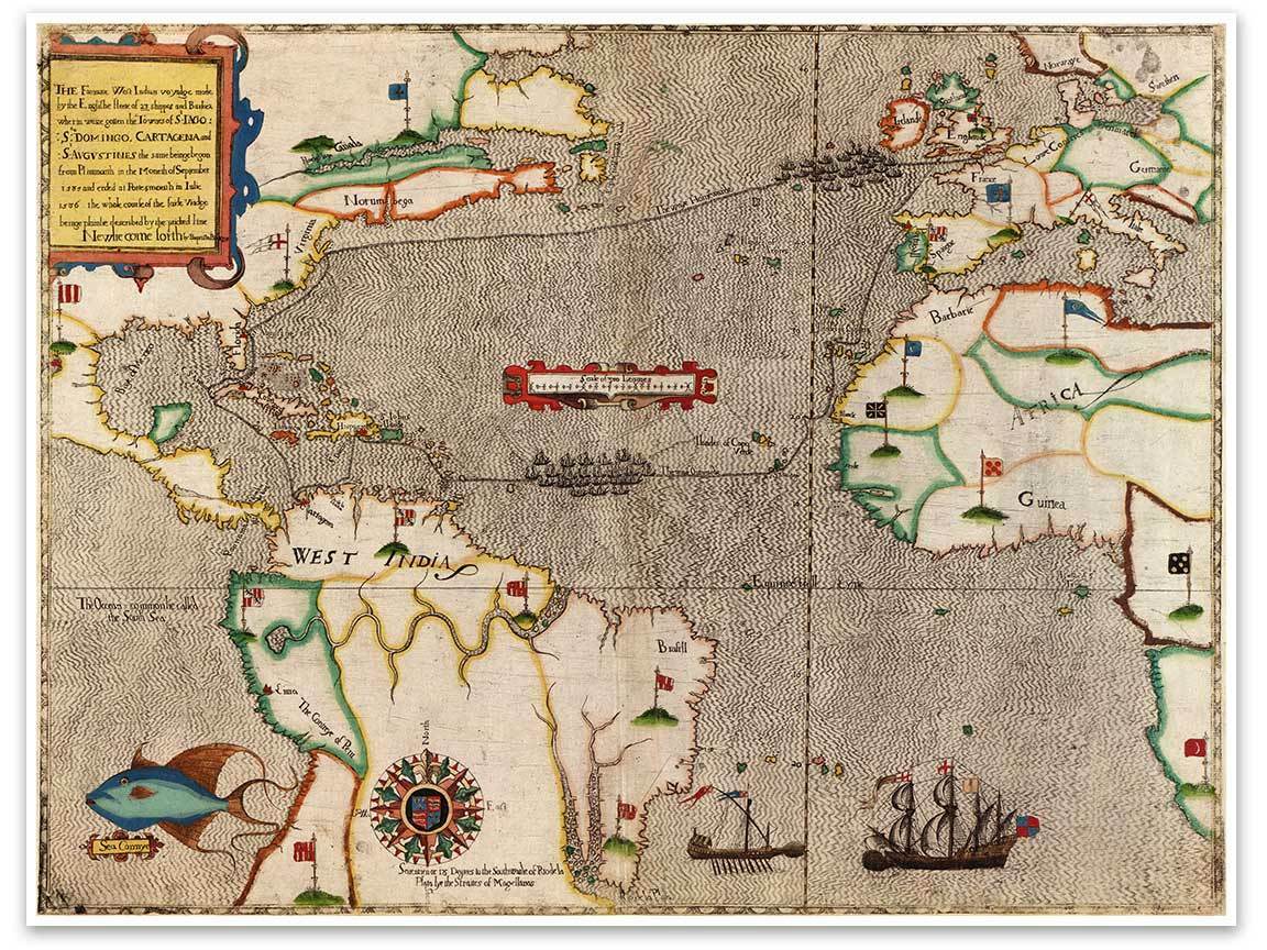
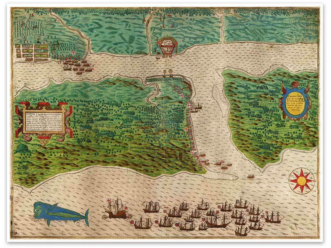
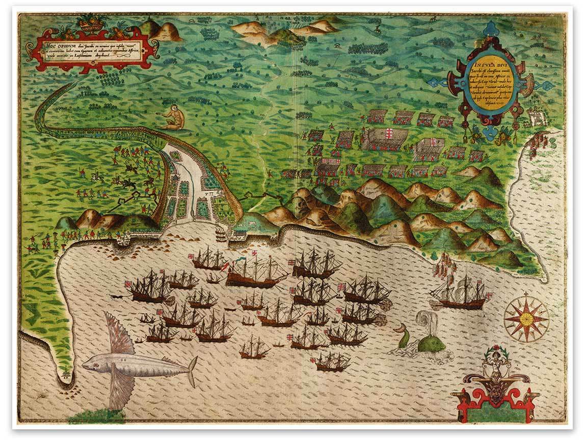
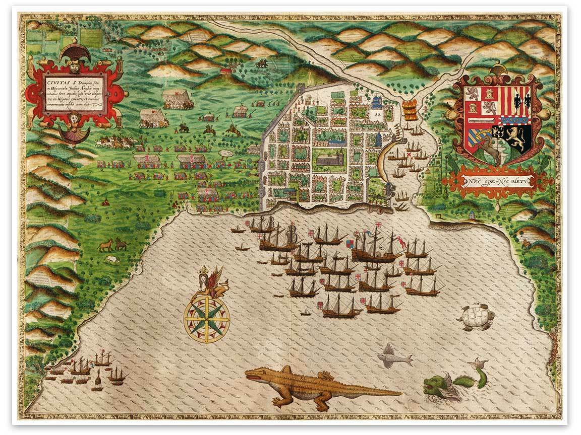
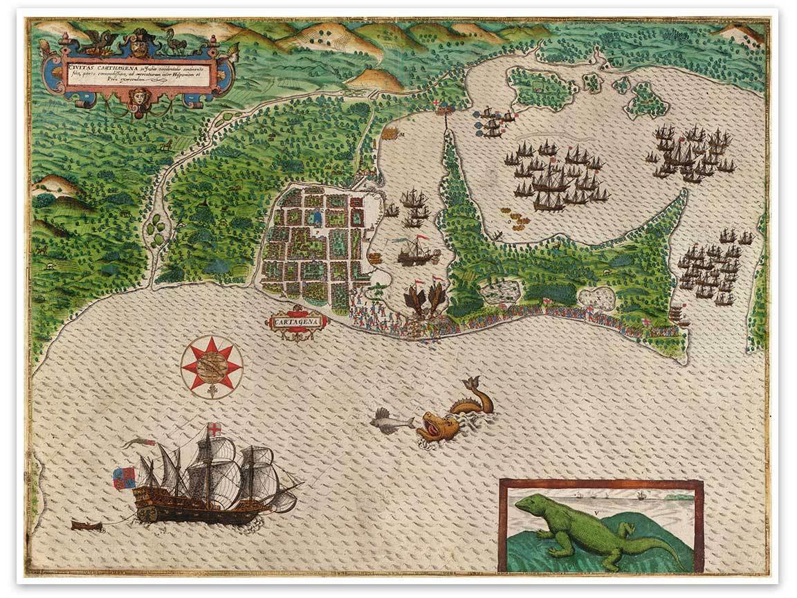
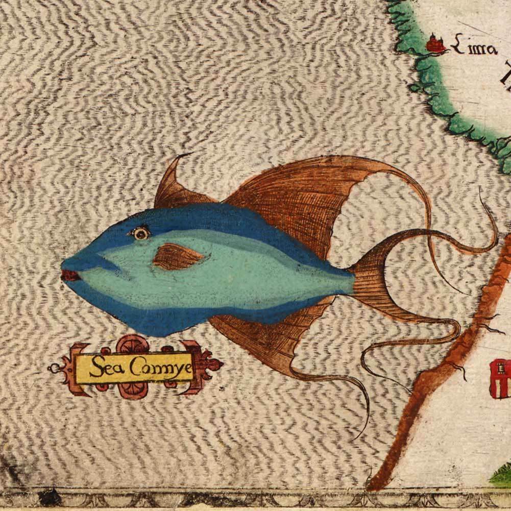
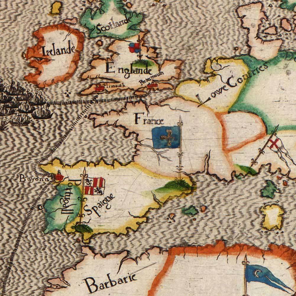
5 Map Set Illustrating Sir Francis Drake's West Indian Voyage circa 1595 18"x24"
$ 26.37
- Description
- Size Guide
Description
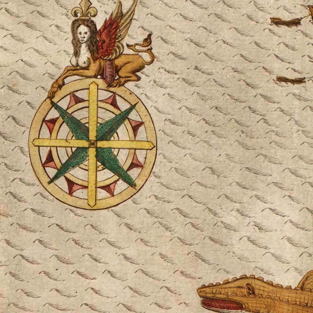
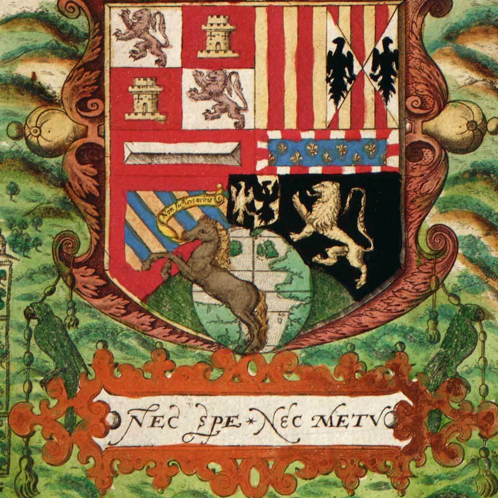
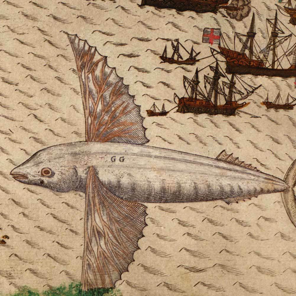
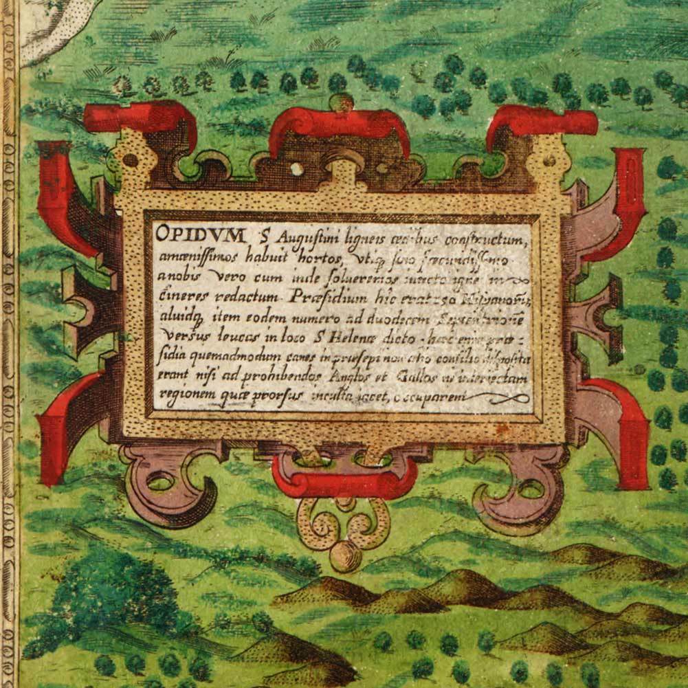
Set of Five (5) Maps Illustrating Sir Francis Drake's West Indian Voyage circa 1595The first is a map of Drake's voyage showing Europe, western Africa, northern South America and eastern North America. The four other maps are bird's-eye views of the cities of Santiago, Santo Domingo, Cartagena, and St. Augustine, Florida. Relief shown pictorially on bird's-eye views. Voyage map in English; city maps in Latin. Subjects include Cabo Verde, Cartagena, Colombia, Dominican Republic, Florida, Great Britain, Saint Augustine, Santo Domingo, Santo Domingo, Sao Tiago Island, United States, West Indies & Western Hemisphere.
At
Carlson Brands
, our goal is to produce a selection of high-quality reproductive maps. By combining a professional satin PolyPro production material with our state of the art Giclée printing process, we are able to offer the best quality & the most desirable characteristics – accurate colors, archival properties as well as both tear & water resistance. Our large catalog of first generation images are digitally captured directly from the original documents and therefore display both the original look & tone; this may include small tears, flaws and aging, which we feel can add to both authenticity and presentation. Because of this digital process, we can offer you the opportunity to secure a high quality, low cost image for your home, office or living space...and many are sized to fit into the more economical standard frame formats (frames sold separately).
We offer an impressive assortment of world, continent, country, USA, state, county and city maps. Shop for maps in a variety of styles, including physical, pictoral, bird's eye view, panoramic, political, satellite, illustrated, antique and even painted! Our high quality maps make great display pieces for any room. Antique maps and world maps are some of our more popular options for living rooms, bedrooms and dining rooms. Enhance lobbies, conference rooms and other office spaces with professional wall maps of your business area. Create your ideal office environment with colorful reference maps of the area around your business, including county, city and metro area maps. Our maps are also used as reference and educational tools for students of all ages who can explore geography, history and navigation across the world with our selection of educational maps.
Shipping & Handling
We ship maps in heavy-gauge mailing tubes to ensure that each and every item gets delivered to your door in perfect "ready to frame" condition. We ship all orders within 24 hours of payment. Fast Service and Free Shipping Options! We are committed to getting your map to you when you need it. Upgraded Delivery as Fast as Next Day.
Guarantee
Our customers matter and the quality of your experience is our top priority. In the event that you are not satisfied with any item, you many return it within 30 days of receipt for a replacement or a refund.
Shop with Confidence
•100% Satisfaction Guarantee
• No Hassle Returns
• Secure, Fast Shipping
