-40%
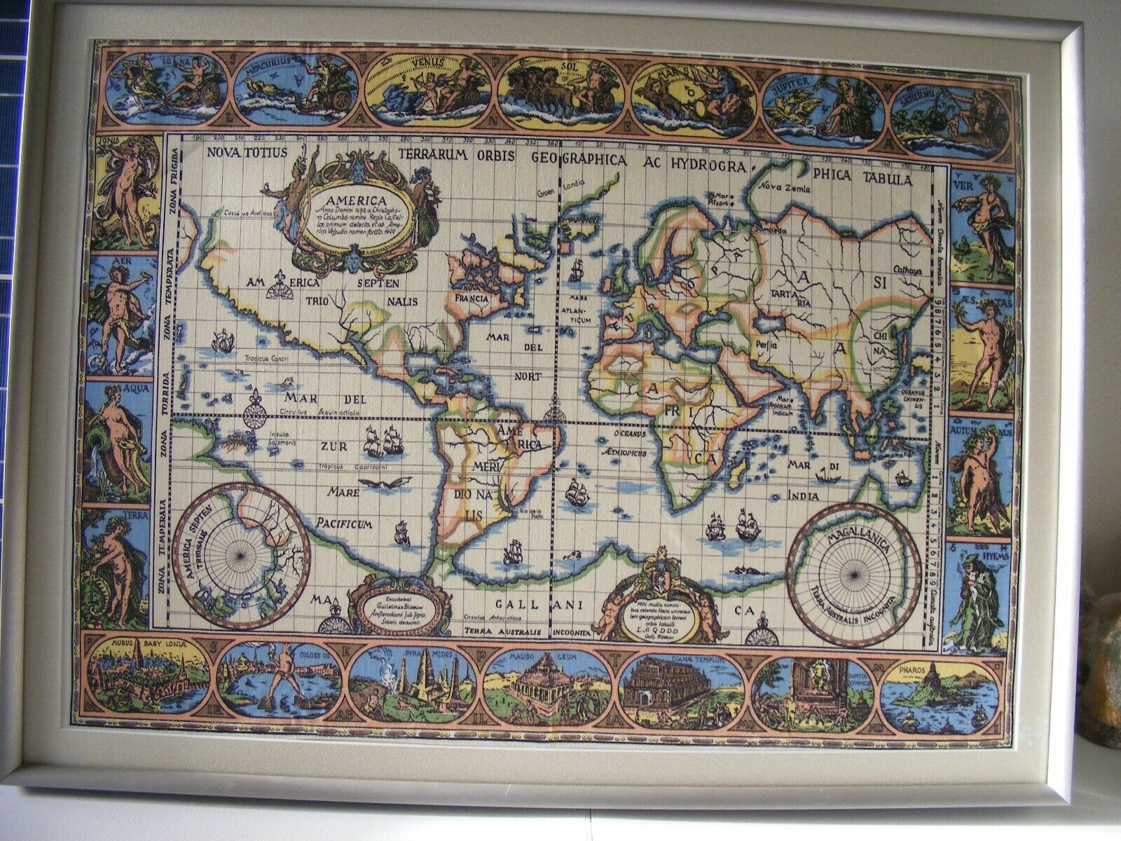
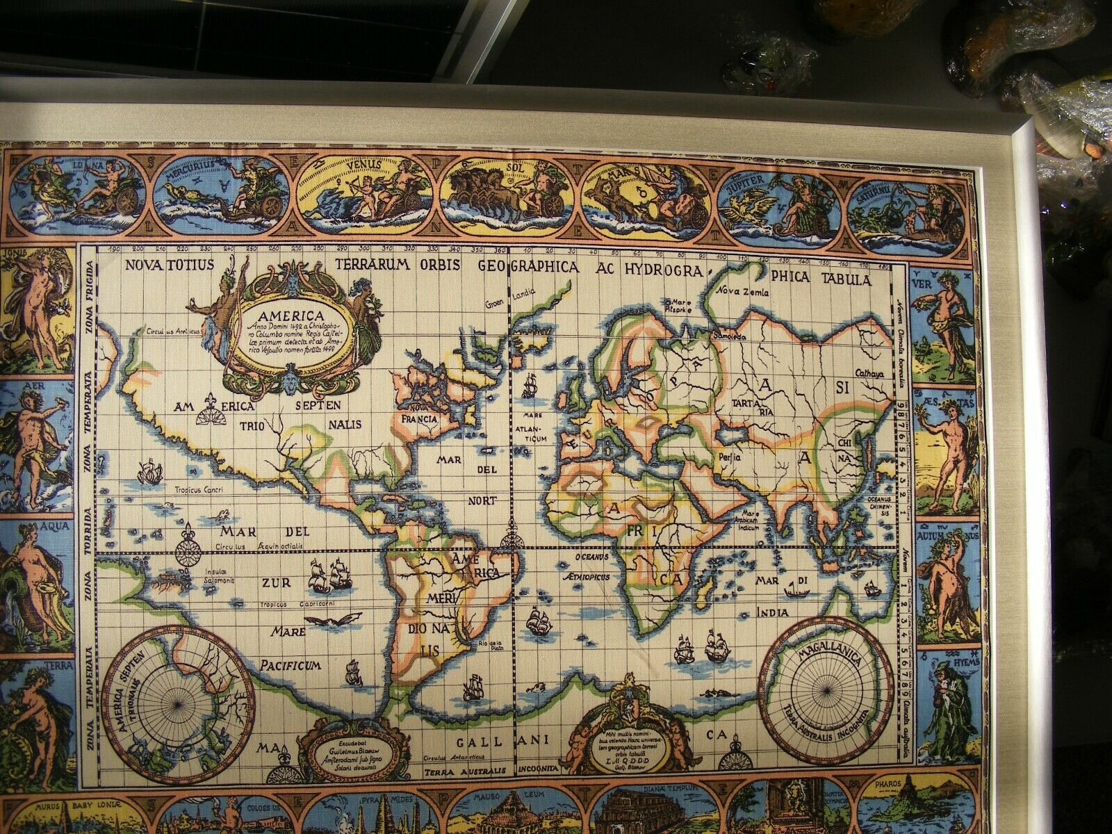
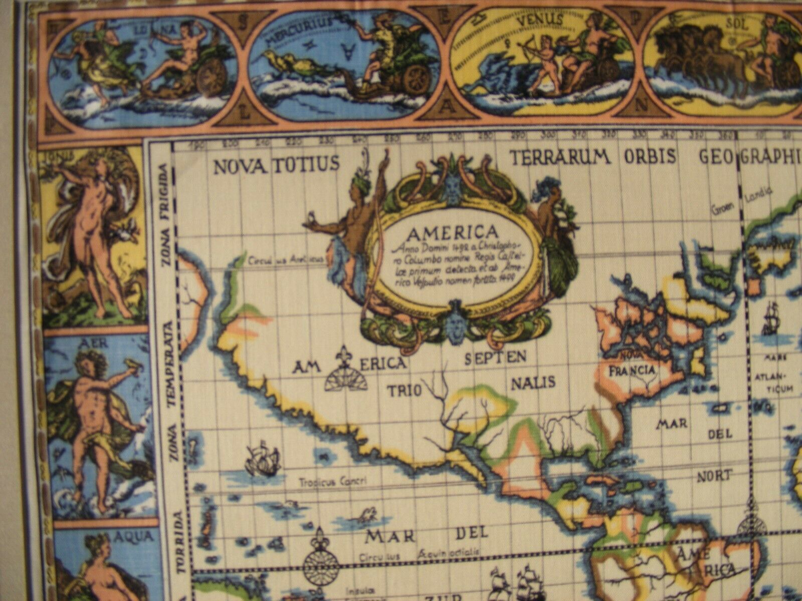
RARE ANTIQUE printed SILK BLAEU WORLD WALL MAP framed no UV no glare acrylic
$ 1214.39
- Description
- Size Guide
Description
The Blaeu family is a three-generation lineage of notable map-making tradition during the Dutch Golden Age of cartography. Willem Janszoon Blaeu, the most notable Blaeu cartographer, is considered by many to be the most influential Dutch mapmaker in the history of cartography.Willem Janzsoon Blaeu was born in 1571, but the specific birth date and location of his birth remain uncertain. At an early age, Willem travelled to Amsterdam to serve as an apprentice in the herring trade– the family business. Blaeu gives recognition and often dedicates his maps to Cornelis Pieterz. Hooft, a relative he had apprenticed under in order to learn the trade, and motivated him to leave the family business to study science and mathematics.He soon left to study under the world-renowned astronomer Tycho Brahe on the island of “Ven in the Sund”. The length of time Blaeu spent with Brahe is unclear– some scholars claim it was two years, others will argue that it had only been a few months. Regardless, the time Blaeu spent with Brahe was enough time to spark a new passion in him: geography. Blaeu began to practice the art of globe-making with the famous scientist. Brahe demanded a noted high standard of his pupils, and Blaeu was one of the most skilled.Once he returned to Holland, he began making country maps and globes. In the early seventeenth century, upon realizing he was in dire need of more money, he began producing ornate world maps and atlases. In the early 1630’s he declared his intention to be the first mapmaker to make an international world atlas– multi-volume atlases printed in Latin, German, Dutch, and French. By 1633 he was named the official cartographer of the Dutch East India Company, or VOC. He died in Amsterdam in 1638.His two sons, Cornelis and Johannes Blaeu, took over the map business upon Blaeu’s death.Blaeu's world map,
Nova et Accuratissima Terrarum Orbis Tabula,
incorporating the discoveries of
Abel Tasman
, was published in 1648.
[1]
This map was revolutionary in that it "depicts the solar system according to the heliocentric theories of
Nicolaus Copernicus
, which show the earth revolving around the sun.... Although Copernicus's groundbreaking book
On the Revolutions of the Spheres
had been first printed in 1543, just over a century earlier, Blaeu was the first mapmaker to incorporate this revolutionary heliocentric theory into a map of the world."
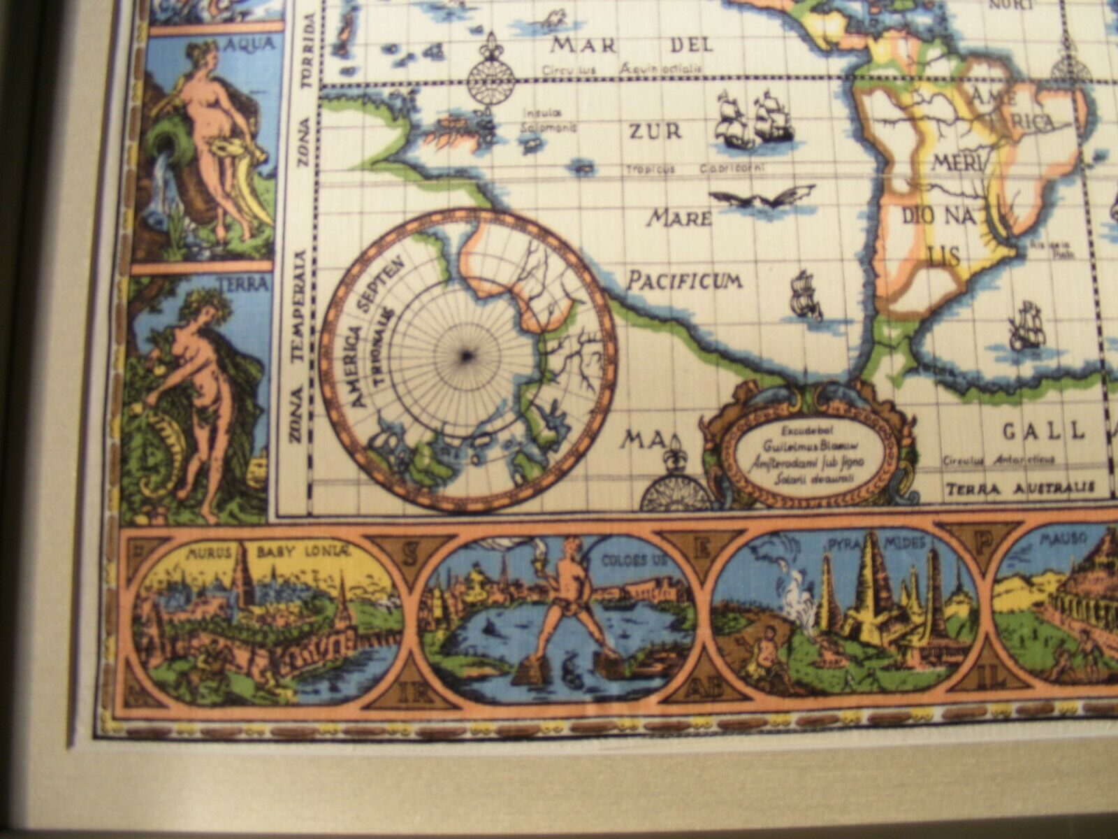
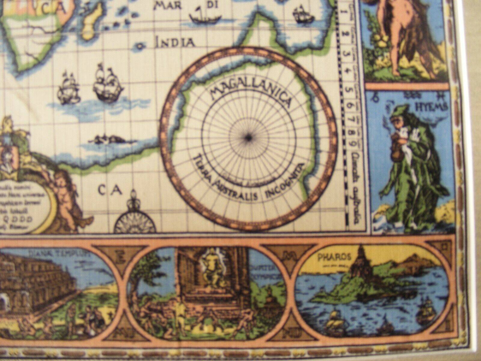
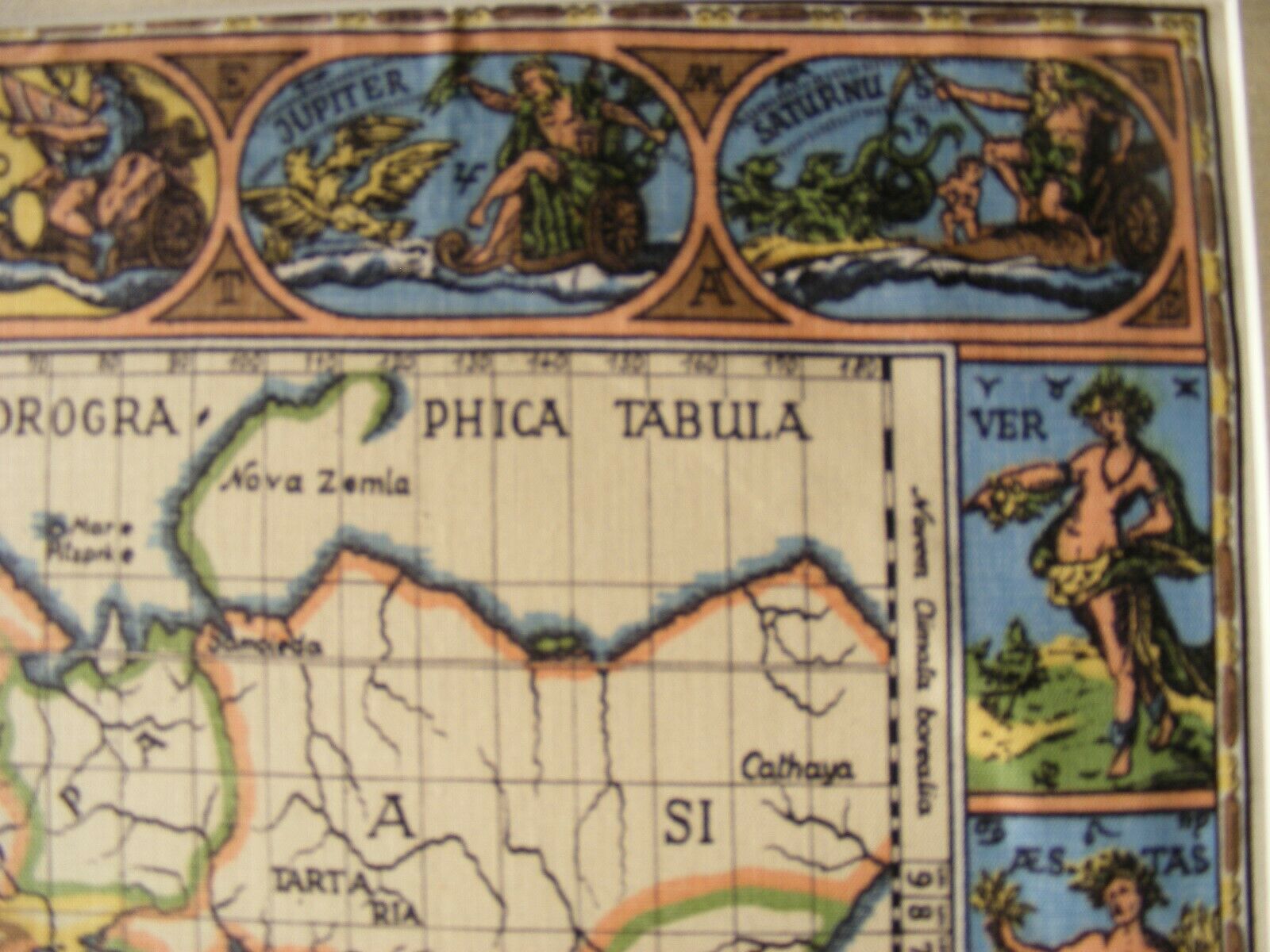
This amazing and incredibly rare and unknown reproduction is particularly mysterious because it is an untraceable printed on silk. There is no print mark or publication mark. This silk map has been reframed in a new modern high quality no-UV and no-Glare acrylic in a high quality silver colored aluminum frame. Expertly matted, the original border lines of the map are intact with just enough of the silks material showing as to tell that is what it is. Originally framed in the 1950's it was probably brand new at that time. However in spite of my diligent research I can find on reference anywhere to such a reproduction. An extremely rare antique reproduction of the most famous post Columbus old world map ever published and in LIKE NEW condition!!!
You will not be disappointed. The item was very well protected by it's original quality framing and matting from the 1950's. NEVER DISPLAYED OR HUNG for viewing since reframing and in exquisite condition.
