-40%
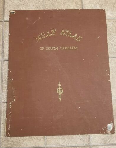
Robert Mills Atlas Of South Carolina Districts 1965 Giant Book Rare Maps
$ 382.8
- Description
- Size Guide
Description
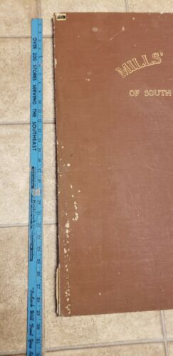
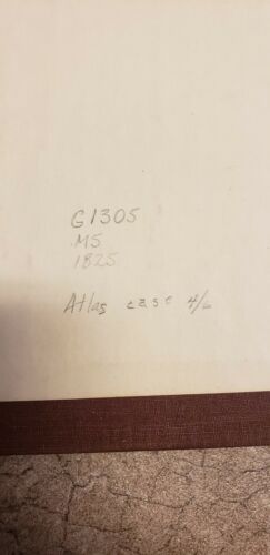
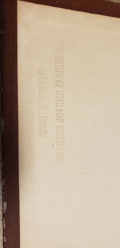
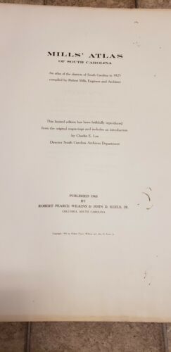
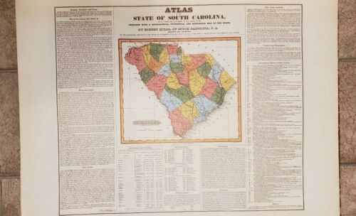
1st let me day I only found one of these books like this and it is in a museum and they said the donor appraised it at 00! I know what it is and I know what I paid I will make a deal but please dont insult me. Also we will not be sending any photos of any districts, thanks.This is the 1965 Limited Facsimile Printing of MILLS' ATLAS OF SOUTH CAROLINA, AN ATLAS OF THE DISTRICTS OF SOUTH CAROLINA IN 1825, Compiled by Robert Mills, Engineer and Architect. This Limited Edition has been faithfully reproduced from the original engravings and includes an Introduction by Charles E. Lee, Director South Carolina Archives Department. It was Published by Robert Pearce Wilkins & John D. Keels, Jr., Columbia, South Carolina. The atlas maps measure 25" x 29", but many of the 28 District Maps that comprise the atlas are folded, and when unfolded measure as much as 42" wide and 37" tall. Besides the 28 maps that comprise the districts of South Carolina, there is a title page, followed by a Preface and an introductory page, followed by a map of the state colored by district, which was executed for this atlas by another mapmaker, F. Lucas, Jr. in Baltimore. The atlas is bound in brown buckram cloth titled and decorated in gilt on the front cover. The maps are bound in with three metal screw posts and can easily removed and returned to the atlas without damaging the individual maps. This Atlas is complete missing nothing. We are currently the only seller with this item. We are open to offers, please note people are selling just the copies of the old maps for per page. As always please see photos for details of the exact item you're buying. My items are sold as is and no returns. I take pride in providing quality photos with a quality description to ensure no returns or confusion. If you have any questions just ask!!!
