-40%
WOW! 1855 MN MAP Cambridge Champlin Chanhassen Chaska Cloquet Columbia Heights
$ 6.3
- Description
- Size Guide
Description
This is a hugeBLACK & WHITE COPY
of an original
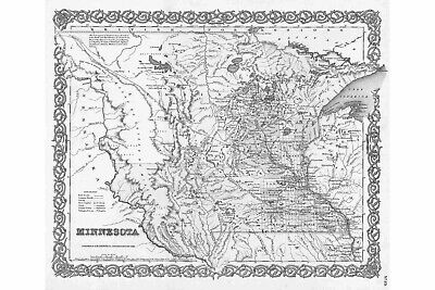
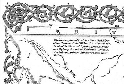
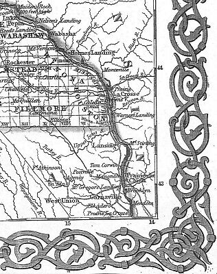
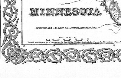
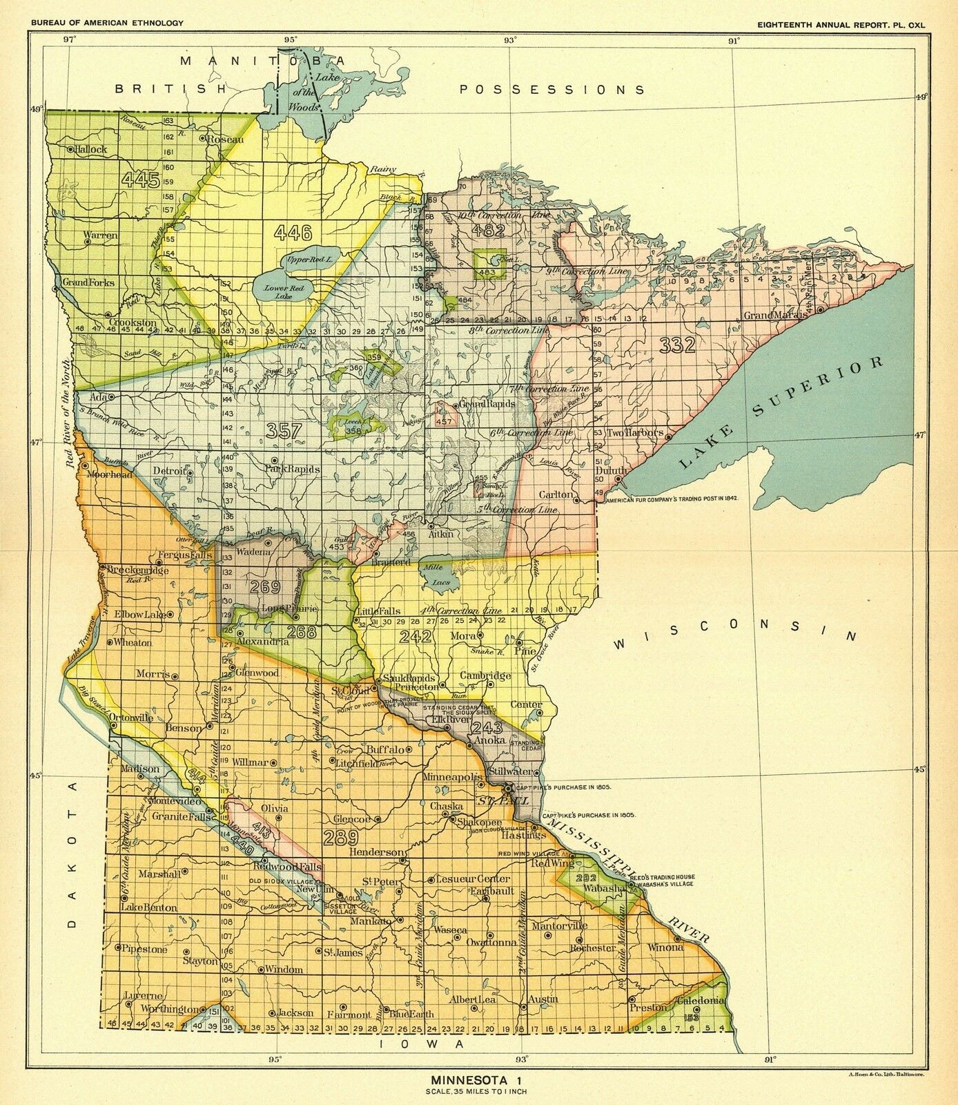
1855 COLTON ATLAS Map of MINNESOTA
PUBLISHED BY J.H. COLTON & Co. No.172 William St NEW YORK
A GREAT FIND FOR THE HISTORIAN !!!
This map is HUGE ---- 26 inches by 24 inches!!!
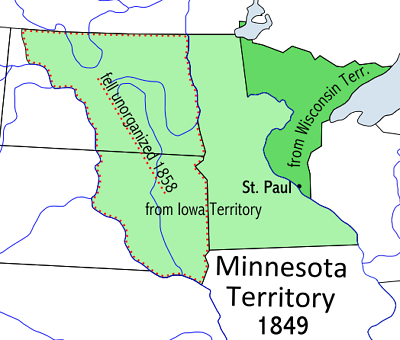
This map was made 3 years before MINNESOTA became a state in 1858!
In 1855 Minnesota was a TERRITORY...Look at the odd shape..It took in the area of a large portion of modern day North & South Dakota!
At this time, a lot of the territory was inhabited by large American Indian Tribes.
City and County names in the TITLE BLOCK may not necessarily appear on this map.
I will mail out in a large mailing tube.
Again, this is a
COPY
of the huge map,
NOT THE ORIGINAL
. I have the original and it is not for sale.
Would make a great gift !!
Thanks for looking!
